Drone Footage and 3D Rendering: Capturing Real-World Context
Lukas Berezowiec · CEO of NoTriangle Studio ·June 5, 2026 · 7 minutes
A rendering sells a building. A drone plate sells where it sits. For a project where the location is part of the value, a lakefront, a hillside, a specific city block, blending real aerial footage with the 3D model gives a render the one thing pure CGI struggles with: a believable, specific, real-world setting.
This guide is about how that blend actually works on a development project, and why the result depends almost entirely on how the shoot is briefed before anyone flies.
Why Blend Drone Footage With a Render at All
A building never exists in isolation. The surrounding streets, the tree line, the neighbouring rooftops, the way the land falls toward a view, all of it shapes how a buyer or a planning board reads the project. Modeling that context in full 3D is possible, but for a large or complex setting it is slow and expensive, and it can still feel generic.
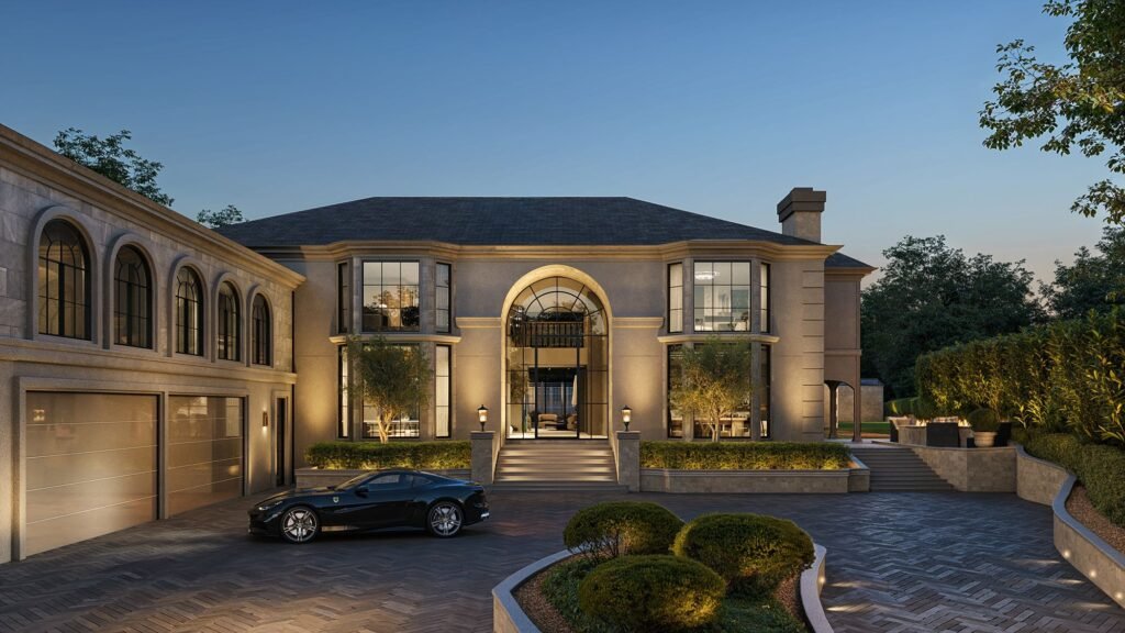
Real aerial footage solves that. We composite the 3D building into a real photographic or video plate of the actual site, so the setting is genuinely the setting. The render carries the design, and the plate carries the place. For exterior heroes, aerial establishing shots, and the opening of an animation, that combination is often the most convincing and most cost-effective route to realism.
The Part That Decides Everything: the Shot Guideline
A drone plate is only useful if it lines up with the rendered camera. If the angle, lens, or height is off, the building will not sit correctly in the scene and the illusion breaks. This is why the work happens before the shoot, not after.
We prepare a shot guideline for the drone operator that specifies the things that have to match the CGI cameras:
- Flight altitudes for each shot
- Lens equivalents and framing
- Camera angles aligned to our render viewpoints
- Time of day and weather conditions
- Composition guidelines matched to the final layouts
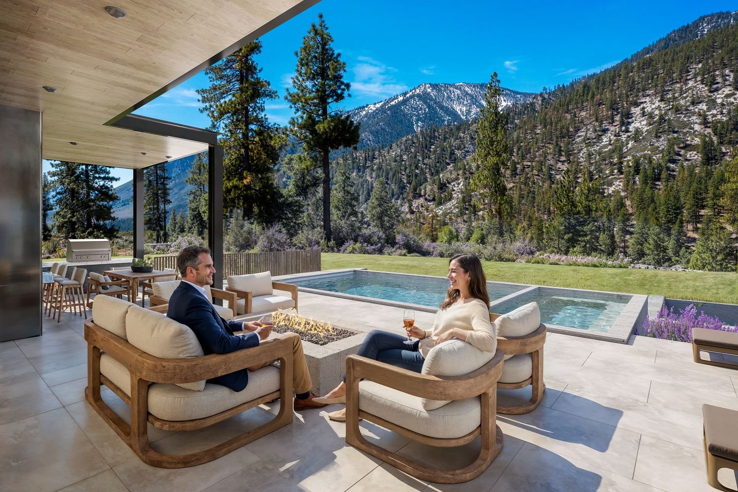
With that in hand, a local operator can capture exactly what we need in a single visit, and the footage drops into the scene cleanly. We have used this approach on projects from Lake Tahoe to Barbados to the Caribbean, coordinating a local operator remotely rather than flying a crew across the world. You can see it on the Alpine View Estates and Villa Visala case studies.
You Do Not Need to Own a Drone
Developers sometimes assume aerial work means buying equipment or hiring a licensed pilot in-house. It does not. In most markets we engage a local, insured operator and direct the capture with the shot guideline, which is faster, cheaper, and lower-risk than owning and flying your own gear. Your job is to approve the shot list; ours is to make sure what comes back fits the renders.
When a Drone Is Not Available
Aerial capture is not always possible. Airspace restrictions, a site that does not exist yet, or a tight timeline can rule it out. When that happens we build the exterior and its context from plans, ground-level photography, and mapping data instead.
How closely that matches the real setting depends on the reference we have to work from, which is why we assess the available material before committing to an approach. On the Capital One Café project, on-site photography was not viable, so we reconstructed the Manhattan streetscape entirely in 3D and the visuals still cleared executive approvals.
Working From Imperfect Site Photos
Site conditions are rarely tidy. Removing clutter, parked cars, or overgrown vegetation, and cleaning up a site image, is standard work. What matters is that the camera angle and the conditions in the photo match what the rendering needs. We confirm that before relying on a given shot, and in many cases a clean phone photo of the view is enough to work from when a full aerial shoot is not warranted.
FAQs
Do I need to hire the drone operator myself? No. We can coordinate a local, insured operator and direct the capture with a shot guideline, so the footage matches our render cameras.
What makes drone footage usable in a render? The angle, lens, height, and time of day have to match the CGI camera. We specify those in a shot guideline before the shoot rather than trying to fix mismatches afterward.
Can you do the exterior without any drone footage? Yes. We can build the context from plans, ground photography, and mapping data. How precisely it matches the real setting depends on the reference available, which we assess up front.
Can you remove cars, clutter, or vegetation from a site photo? Yes, that is routine. The key requirement is that the camera angle and conditions match what the rendering needs.
Is a phone photo ever good enough? Often, yes. For many projects a clean phone photo of the actual view is enough to work from when a full aerial shoot is not needed.