Case study
VeLa
Approval-first visualization for high-rise mixed-use towers across five U.S. markets.
Project at a glance
Approval-first visualization built to help planning boards read scale, massing, and context, then move complex towers to a yes.
- Client
- VeLa Development
- Type
- High-rise mixed-use towers
- Markets
- Tampa, Charlotte, Raleigh, Phoenix, Kansas City
- Scope
- Approval-first planning visualization
- Method
- Drone photography + CGI
- Primary use
- City planning and design review
01
City Approvals Across Multiple U.S. Markets
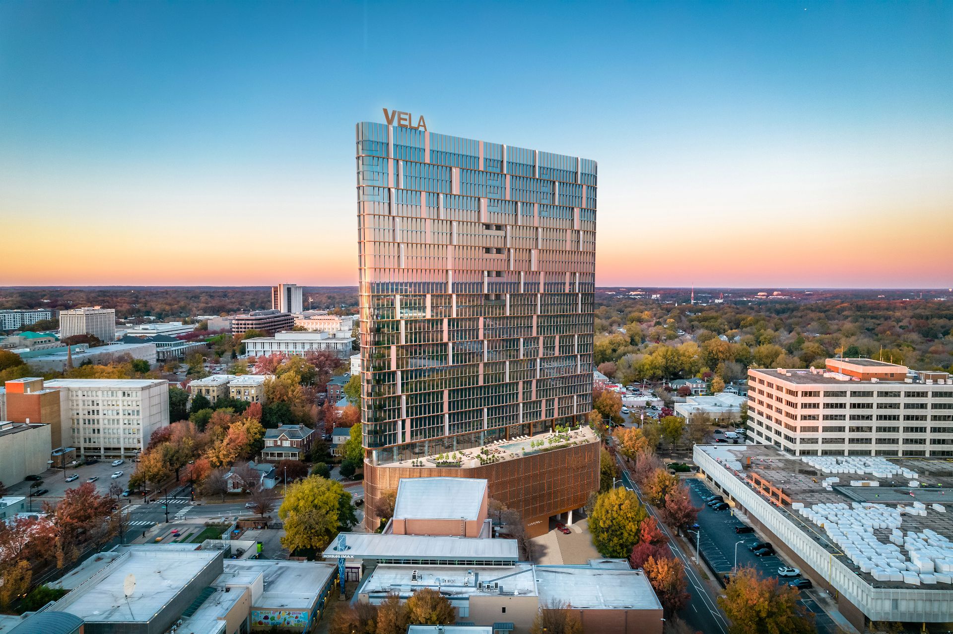
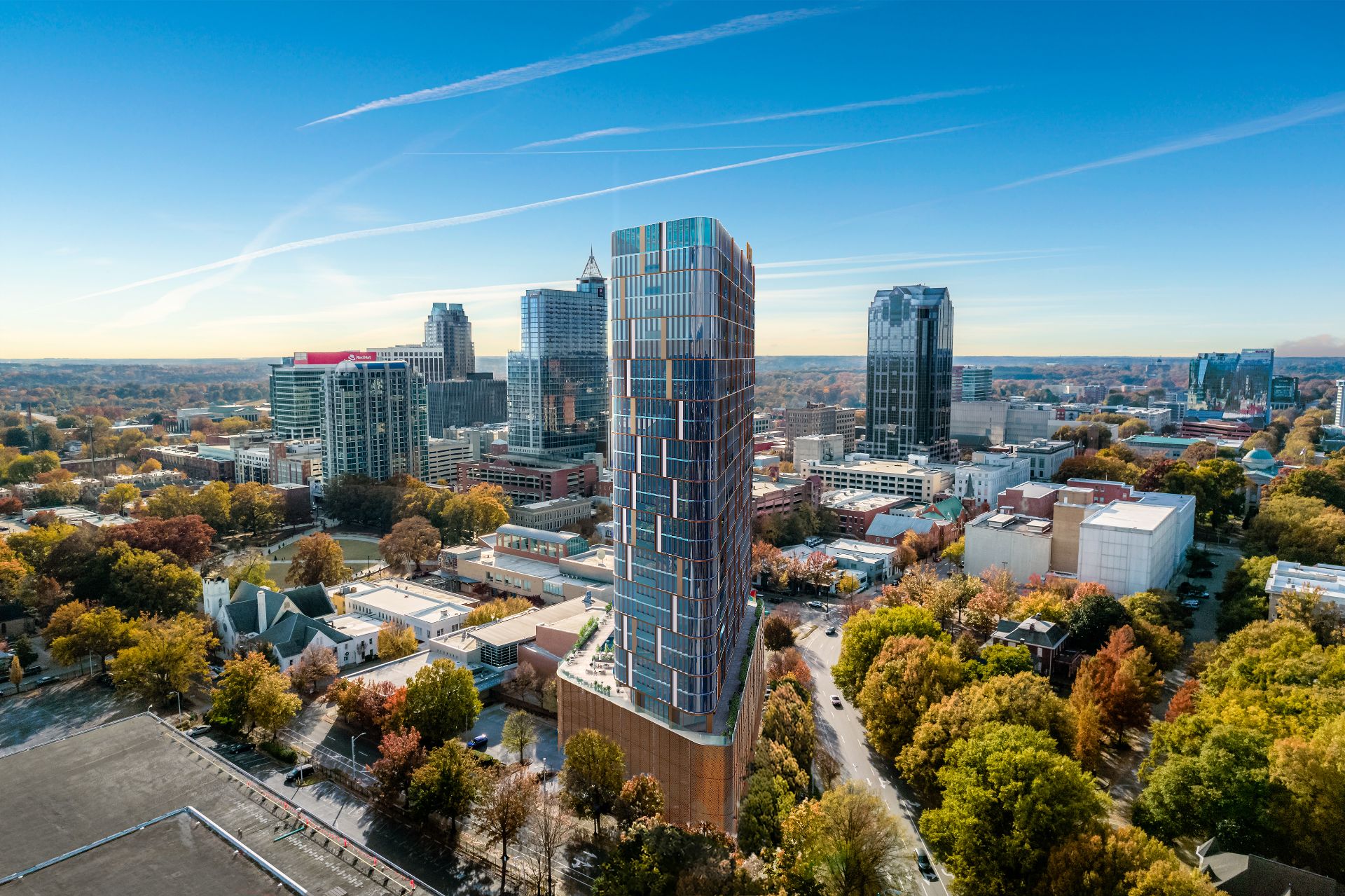
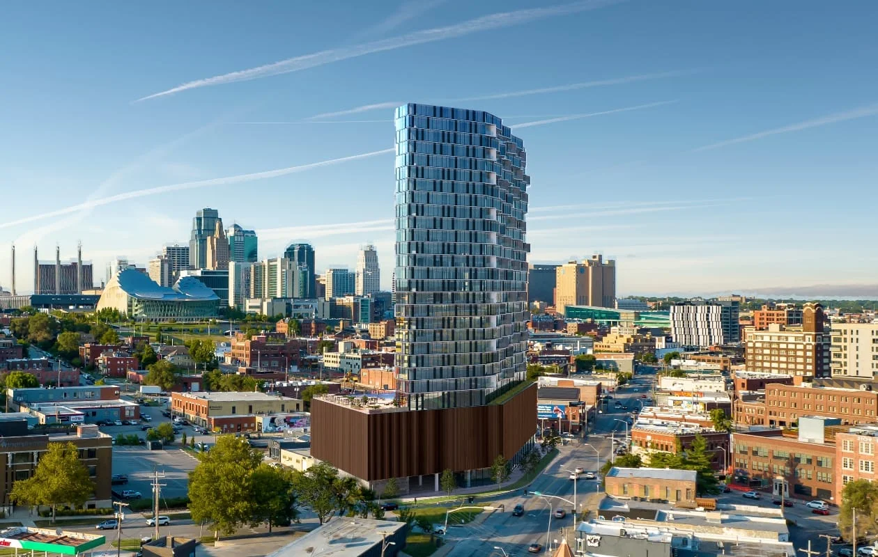
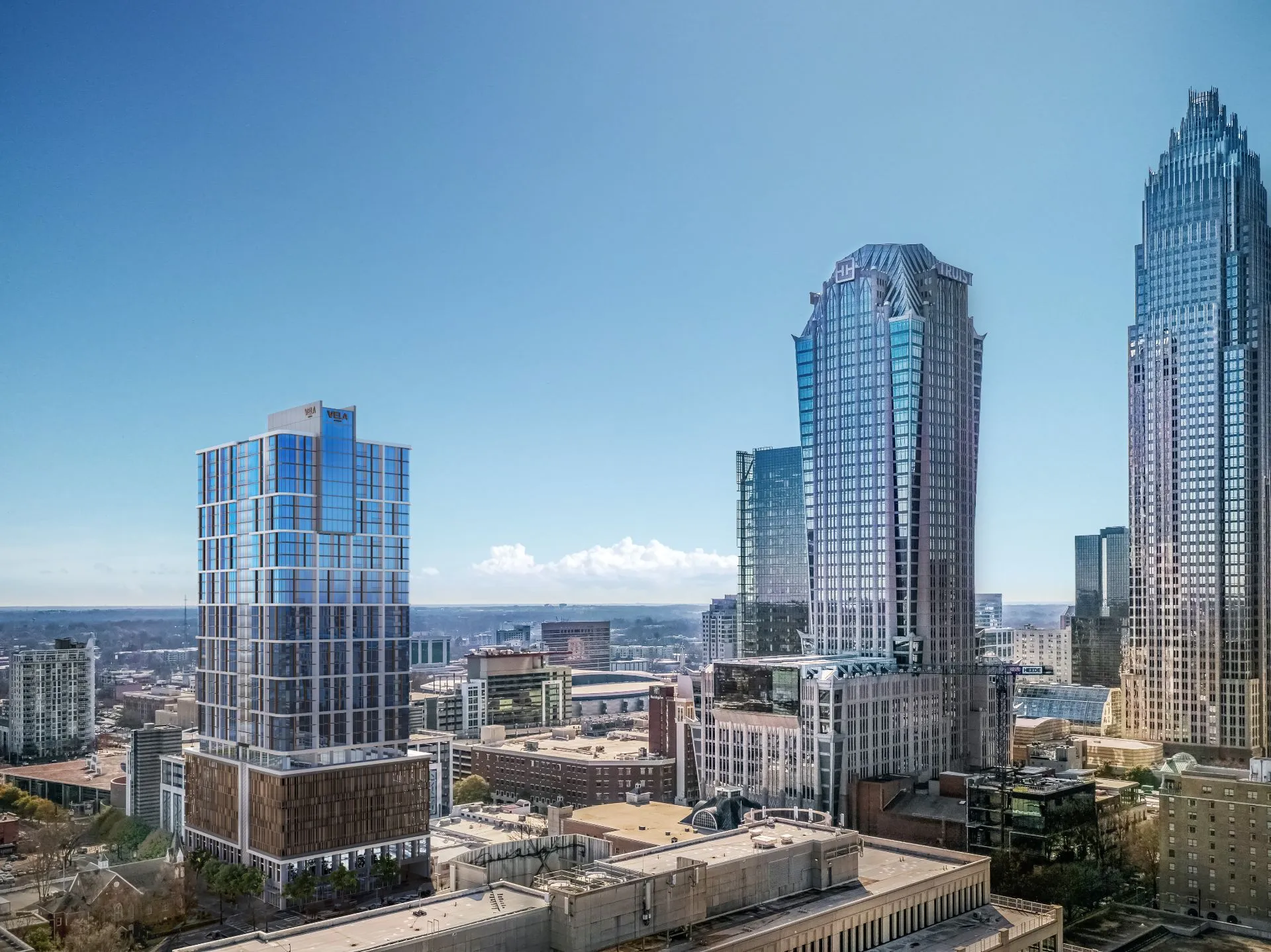
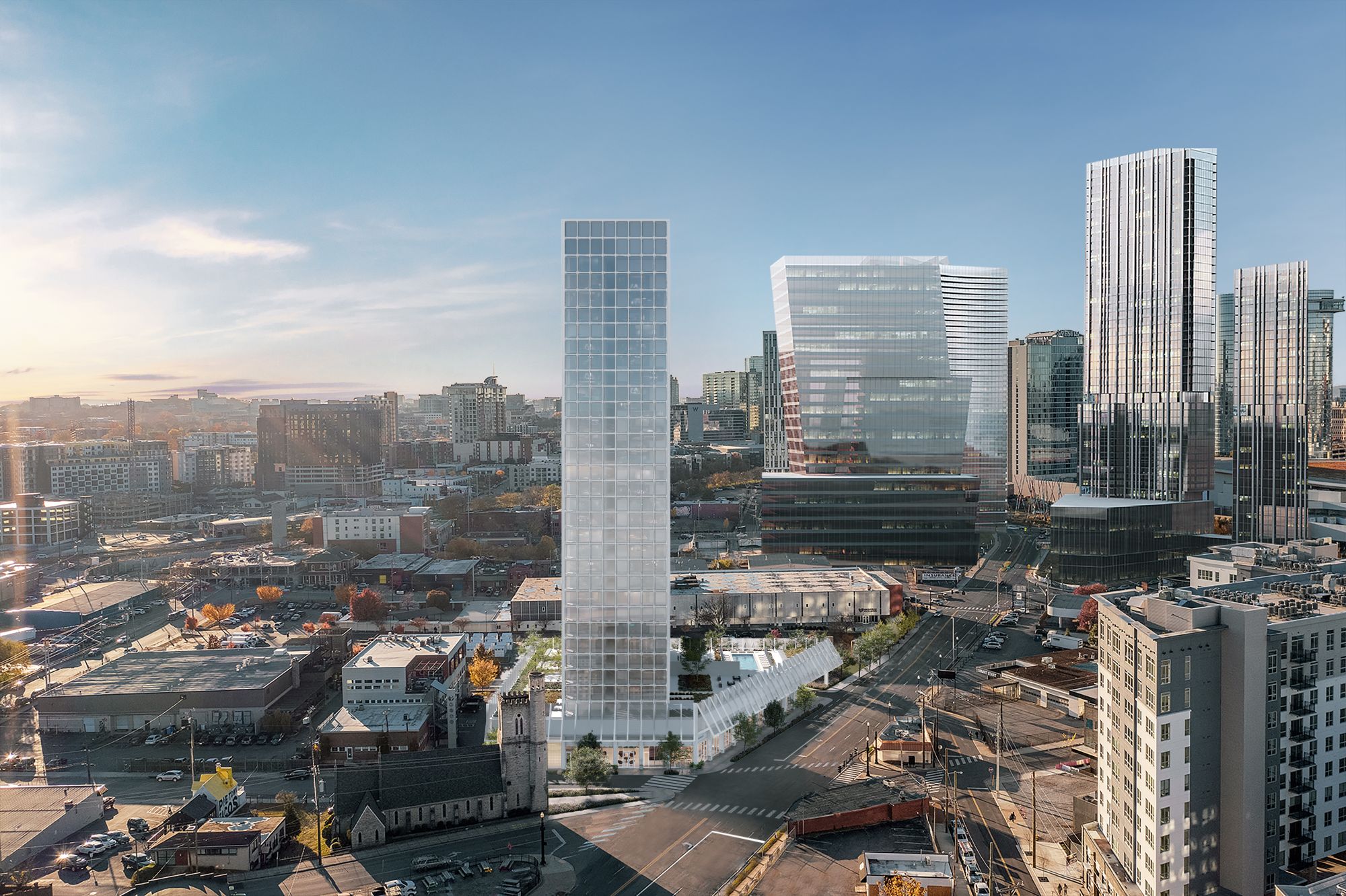
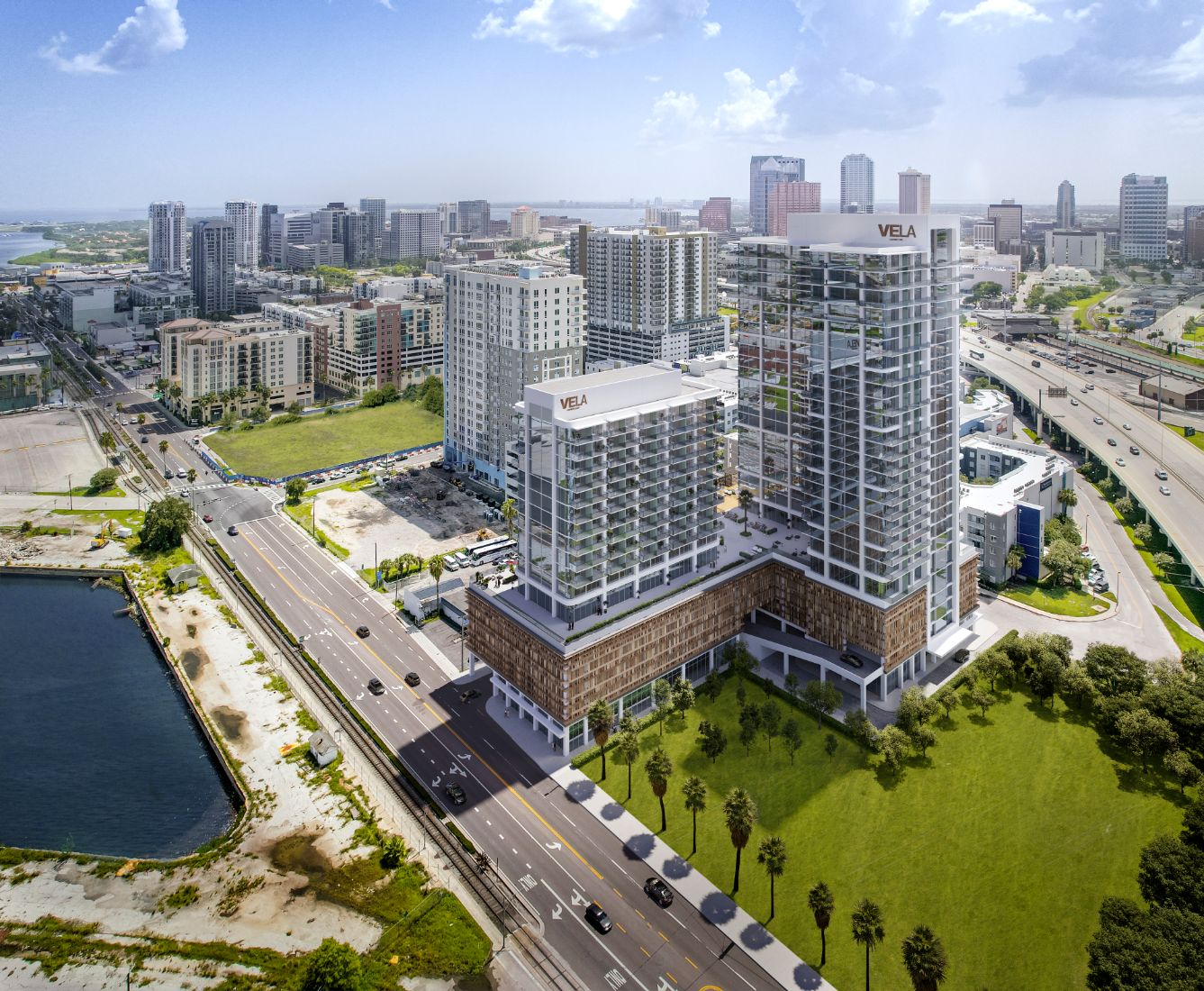
VeLa Development engaged NoTriangle Studio to produce planning visuals for architectural projects supporting major mixed-use developments across Tampa, Charlotte, Raleigh, Phoenix, and Kansas City.
Each project involved high-rise towers with significant urban impact, requiring planning boards to clearly understand scale, massing, and integration within dense downtown environments. The priority was not marketing, it was approval.
02
Objective: Approval-First Visualization
VeLa required visuals that could be reviewed, questioned, and approved by city authorities. The work needed to:
- Communicate massing, height, and skyline impact with clarity
- Demonstrate compatibility with surrounding neighborhoods
- Support zoning, planning, and design review submissions
- Align multiple consultants into a single, coherent vision
This called for a visualization partner capable of translating architectural and planning complexity into municipality-ready imagery.
03
The Challenge
Each city presented different review standards, sensitivities, and approval criteria. Projects involved multiple architects and consultants, real-world urban constraints, and extremely high financial stakes, where delays directly affected financing and construction timelines.
Planning boards required precise, contextual visuals showing:
- Street-level experience and pedestrian flow
- Traffic corridors and sightlines
- Relationship to adjacent buildings and public realm
There was no room for generic imagery or interpretation gaps.

04
Our Approach
We treated the engagement as a planning visualization exercise, not a rendering task.
- Approval-aligned discovery: Each site was analyzed against local zoning, height restrictions, view corridors, and planning board expectations.
- Central coordination: We consolidated inputs from architects, engineers, and consultants into unified, consistent 3D assets suitable for public review.
- Real-world context: Drone photography was integrated with CGI to accurately reflect existing topography, lighting, and urban scale.
- Iterative review support: Visuals were refined through multiple board-review cycles, addressing feedback through clear scenario studies and updates.
The goal was simple: reduce uncertainty and give decision-makers confidence through clarity.

05
Results
The planning visuals directly supported successful approvals across multiple cities:
- Tampa: Two mixed-use towers approved following city council review
- Raleigh: $170M mixed-use tower approved near the Marbles Museum
- Charlotte: 32-story Uptown tower approved after detailed planning review
In each case, the visuals allowed boards to assess impact accurately and move forward without delay.
06
Conclusion
This project demonstrates how planning visuals for architectural projects can directly influence the approval trajectory of complex mixed-use developments.
By grounding proposals in real context, aligning visuals with planning criteria, and consolidating multi-team inputs into a single narrative, NoTriangle Studio helped reduce risk at one of the most critical stages of development: city approvals.
The outcome was clear progression, from entitlement to pre-sales, across multiple U.S. markets.
Start with a discovery call
Eddie Kingsnorth runs the first conversation. The call is where we understand the project and whether we're the right studio to do the work.